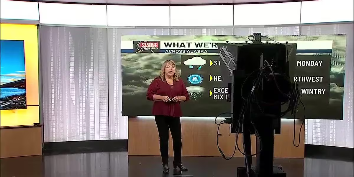

A powerful early-season winter storm is delivering heavy snow, strong winds, and substantial rainfall across Alaska. This has prompted urgent warnings from the National Weather Service (NWS) regarding dangerous travel conditions through Wednesday, October 21, 2026. Mountain communities and major highway corridors are bracing for heavy accumulations, while coastal and southeastern regions face threats of flooding and hurricane-force wind gusts.

Heavy Snow Threatens Mountain Passes and Interior Highways
The NWS office in Fairbanks reports that the most severe snowfall targets the eastern Alaska Range along the Richardson Highway corridor. Areas situated above 2,500 feet could receive anywhere from 18 to 36 inches of snow, while lower elevations expect 12 to 24 inches. Higher totals remain possible directly around mountain passes, particularly near Isabel Pass and Trims Camp.
Forecasters note that travel in these hard-hit zones could quickly become very difficult or impossible. Snowfall rates are projected to exceed one inch per hour at times from Monday night through Tuesday night. Strong northerly winds gusting up to 40 mph will cause blowing snow, sharply reducing visibility for motorists before the peak accumulation arrives.
The disturbance is also pushing further north into Interior Alaska. Communities from Venetie and Fort Yukon south to Tok, as well as eastward from Delta Junction to the Canadian border, anticipate 5 to 10 inches of snow. Winter Storm Warnings are active for the Upper Chena River Valley, Southern and Eastern Yukon Flats, White Mountains, and Eagle Summit. Meanwhile, the Northstar Borough-including Fairbanks, Chena Hot Springs, and Nenana-faces accumulations of 4 to 8 inches, creating slick and messy road conditions across local routes.
Coastal Flooding and Heavy Rain Threaten the Panhandle
While the interior combats heavy snow, southern and southeastern Alaska face a robust atmospheric river bringing heavy rain and powerful coastal winds. The storm front impacts the entire southern coastline, dropping substantial rainfall on the windward sides of local mountain ranges.
Regions including Prince William Sound and the Northern Gulf coast, stretching from Yakutat down to Juneau, could record between 2 and 7 inches of rain by Wednesday. Forecasters have also tracked powerful wind gusts reaching up to 65 mph along exposed coastal zones, creating rough marine conditions and localized coastal flooding risks.
Safety Recommendations and Travel Advisories
Transportation authorities and weather officials strongly advise drivers to avoid non-essential travel in areas under active Winter Storm Warnings. Motorists who must venture out should check real-time road conditions through platforms like Alaska 511 before departure. Vehicles should be equipped with emergency supplies, including extra food, water, warm clothing, and emergency lighting.
With weather conditions capable of shifting rapidly in remote stretches, residents across both the snow-laden interior and rain-soaked panhandle are encouraged to monitor updated forecasts from the National Weather Service as the storm system continues its progression.