
California communities are actively strengthening flood defenses, inspecting critical water infrastructure, and updating emergency response plans as a powerful El Niño threatens to bring heavy winter rainfall, coastal damage, and elevated flood risks. State and local leaders are mobilizing resources early to protect vulnerable populations following comprehensive seasonal forecasts that point to severe weather risks extending through March.
The National Oceanic and Atmospheric Administration (NOAA) forecasts a near-certain probability that a strong El Niño will persist through the winter months, with an 83% to 90% likelihood that it will rank among the most powerful climate events recorded since 1950. While local impacts and storm tracks vary, the climate pattern significantly increases the statistical potential for wetter conditions, saturated soils, and severe coastal erosion across the Golden State.
State Emergency Proclamation and Early Mobilization
In response to the developing forecasts, California Governor Gavin Newsom proclaimed a state of emergency to accelerate creek-clearing operations, pre-position life-saving supplies, and assist local governments in mitigating storm impacts. The emergency order empowers municipalities to document preparation work quickly for potential state disaster relief while temporarily cutting regulatory red tape to expedite the clearing of vital waterways and drainage systems.
State agencies, including the California Department of Water Resources (DWR) and the Governor’s Office of Emergency Services (Cal OES), are coordinating closely with regional partners. Pre-positioning efforts are already underway across multiple counties to ensure swift deployment when severe weather strikes.
Staging Critical Flood-Fighting Infrastructure
To prepare for potential deluges reminiscent of past severe winter storms, DWR has stockpiled critical flood-fighting materials at 68 strategic locations statewide. The inventory includes:
- 4.4 million sandbags ready for distribution to flood-prone neighborhoods.
- More than 52,000 feet of “Muscle Wall” portable flood barriers for rapid water diversion.
- 400,000 tons of rock designated for emergency levee and shoreline repairs.
- Heavy-duty rescue vehicles, inflatable motorboats, and updated protective gear deployed to 13 local fire departments via the California Fire and Rescue Mutual Aid System.
Additionally, state crews inspect all 1,600 miles of levees under the State Plan of Flood Control every autumn. Dam safety divisions are actively evaluating high-hazard structures, and Caltrans is positioning snow-removal, road-closure, and traffic-control equipment along high-risk mountain and coastal highway corridors.
Protecting Vulnerable Coastlines and Infrastructure
Beyond inland flooding, this year’s El Niño has already demonstrated its early coastal impacts. Scientists note that offshore Pacific hurricanes fueled by warm eastern Pacific waters, combined with cyclical “Kelvin waves,” have elevated sea levels and sent powerful, erosive swells battering the California coastline.
To combat coastal threats, Governor Newsom’s emergency order directs the California Coastal Commission to streamline emergency permitting-allowing qualifying protective projects to receive review and approval within 24 hours. Notable resilience projects include shoreline repairs at Carlsbad State Beach, structural reinforcement of the Malibu Pier using 2024 Climate Bond funds, and the multi-million-dollar relocation of vulnerable infrastructure inland at Ventura’s Surfers Point.
Capturing Stormwater for Drought Resilience
While preparing for destructive floods, California water managers are simultaneously focusing on capturing and storing maximum amounts of precipitation to replenish depleted groundwater basins during dry cycles. Through recent State Water Board grants and regional Recharge Readiness workshops, local water agencies are expanding stormwater capture capabilities.
Projects such as the completed Lookout Slough Project in Solano County have added more than 40,000 acre-feet of flood storage capacity in the Yolo Bypass, reducing regional flood risks while restoring natural tidal habitats. Similar greenbelt and urban orchard initiatives in South Lake Tahoe and South Gate divert millions of gallons of runoff into permeable wetlands, simultaneously improving water quality and public green spaces.
How Californians Can Prepare for Winter Storms
Emergency officials emphasize that while El Niño does not guarantee a destructive winter, it substantially elevates the risk profile across the state. Residents living in flood-prone zones, burn scars, or coastal areas are urged to take proactive safety measures:
- Sign Up for Alerts: Register for local emergency notifications through county warning systems or via the state portal at calalerts.org.
- Know Your Risk: Determine if your home sits in a designated flood zone or downstream from recent wildfire burn scars prone to mudslides and debris flows.
- Build an Emergency Kit: Maintain a minimum three-day supply-and ideally a two-week supply-of non-perishable food, bottled water (one gallon per person per day), flashlights, extra batteries, and vital medications.
- Practice Road Safety: Never drive through flooded roadways. Moving water can conceal washed-out pavement and is frequently deeper and faster than it appears. Turn around and find an alternate route.
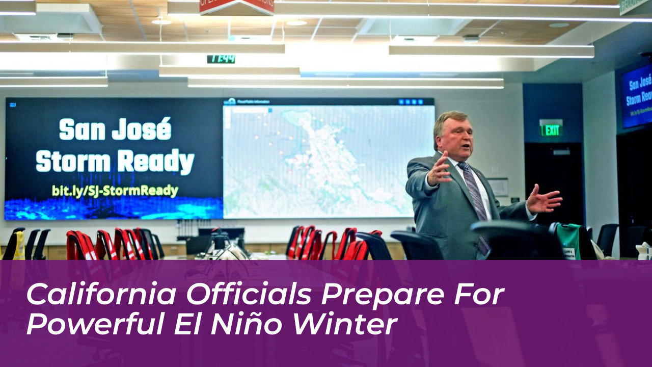
By combining advanced satellite intelligence tools, modernized all-hazards command centers at Cal OES, and robust community-level preparedness, California aims to navigate the upcoming El Niño winter safely and effectively.