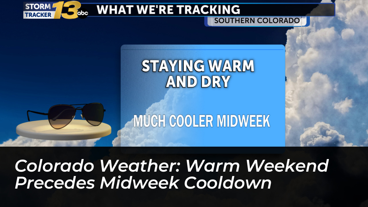

Colorado communities are enjoying an unseasonably warm stretch of weather. A significant atmospheric shift will soon bring much-needed moisture, rain, and cooler temperatures across the state midweek, according to reports from Denver7, KOAA News5, and KRDO.
High temperatures throughout the region continue to hover comfortably above seasonal averages. In the Denver metro area and across the eastern Plains, afternoon temperatures will reach the mid-80s. According to Denver7, this stretch marks a notable streak of consistent 80-degree heat.
Southern Colorado locations are experiencing similar mild conditions. Highs span the 70s and 80s, while select eastern Plains areas approach the 90-degree mark, as reported by KOAA News5. Sunday brings increasing cloud cover later in the day. Overall weekend conditions remain dry across lower elevations, providing ideal conditions for outdoor activities.
Incoming Moisture and Mountain Rain Chances
A weather transition is underway as moisture moves into the region from the west and south. This increases rain and thunderstorm chances in high-altitude zones. Mountain areas, particularly along the Western Slope and the San Juan Mountains, face heightened precipitation risks. According to Denver7 meteorologists, leftover moisture linked to regional storm systems could bring moderate to heavy rainfall to mountain corridors.
Meanwhile, KRDO notes that the Pikes Peak Region started Sunday with mostly cloudy skies before experiencing gradual clearing. While the I-25 Corridor remains mostly dry through the weekend, mountain locations face scattered showers, thunderstorms, and localized heavy rain.
Sharp Midweek Cooldown and Cold Front
The extended period of warmth will give way to a dramatic weather pattern change early in the week. A cold front moving into Colorado is projected to drop temperatures significantly by Tuesday and Wednesday. Daytime highs will fall into the 60s and 40s depending on the specific location.
Forecasters indicate that rain will develop along the I-25 corridor early in the week. Higher elevations may see transitions to cooler rain and snow mixtures as colder air masses settle in. The incoming system is expected to help alleviate ongoing drought conditions across parts of the state before drier and warmer weather gradually returns toward the end of the week.