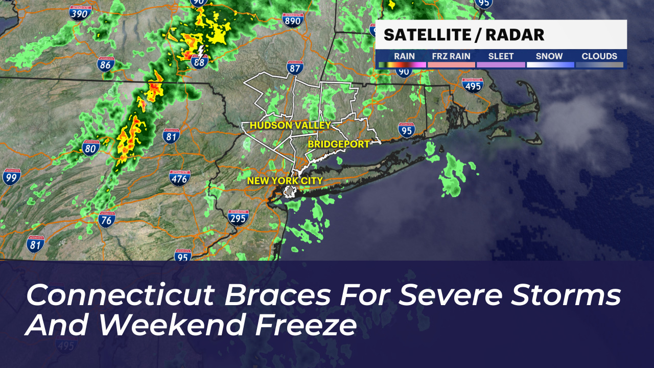

Connecticut faces a sharp weather transition over the coming days. Morning showers will briefly yield to afternoon sun before an incoming cold front triggers potential severe thunderstorms. Behind the front, the region will experience its sharpest cold snap of the autumn season so far.
According to forecasts from the National Weather Service, WTNH, WFSB, and News 12, residents should prepare for fast-changing conditions. Threats include damaging winds reaching up to 60 mph on Friday evening and freezing temperatures across the state by Sunday morning.
Friday Outlook: Warmth Before the Front
Friday begins with scattered showers and storms that taper off by mid-morning. A temporary break in the rain will follow during the early afternoon. High temperatures are set to rise into the lower 70s alongside rising humidity and gusty southwest winds.
Meteorologists note that the daytime warming will destabilize the atmosphere. This energy will help fuel a line of strong to severe thunderstorms late Friday afternoon and evening.
Storm Timing and Severe Threats
The Storm Prediction Center has placed western and southwestern Connecticut under a Level 2 risk for severe weather. The rest of the state remains under a Level 1 marginal risk.
The main line of storms will develop west of Connecticut before tracking east across the state between 4 p.m. and 9 p.m. The strongest impacts are expected to hit between 5 p.m. and 9 p.m. Forecasters warn of several primary hazards:
- Wind gusts reaching up to 60 mph
- Downed trees and branches leading to isolated power outages
- Localized street and drainage flooding under heavy downpours
- A low risk of an isolated, brief tornado in western Connecticut
Rainfall will be locally heavy within thunderstorm cells. Conditions will improve steadily as the storms weaken after 10 p.m. and clear the state early Saturday morning.
Weekend Chill: Sunny Days, Freezing Nights
The passing cold front will pull in the coldest air mass of the season. Saturday will feature sunny skies, but brisk northerly winds will keep high temperatures limited to the mid-50s. Wind chill values will hover in the 40s throughout the afternoon despite the sun.
The cold deepens further Saturday night into Sunday morning. Winds will calm and skies will remain clear, allowing temperatures to drop into the low to mid-30s statewide. Wind chills are expected to fall into the upper 20s.
Frost and freeze alerts are likely for large portions of Connecticut. Residents, growers, and coastal businesses should take precautions to protect sensitive plants and secure outdoor property. Temperatures will slowly moderate early next week, returning toward seasonal autumn norms under mostly clear skies.