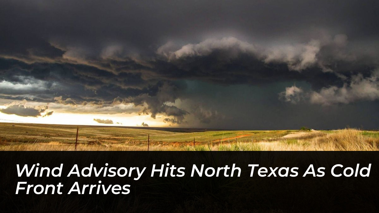

North Texas faces its coldest temperatures since May as a strong cold front brings hazardous winds across the Dallas-Fort Worth area. At the same time, the front raises wildfire dangers in parts of the region, according to the National Weather Service.
A wind advisory remains in effect across Dallas-Fort Worth from 4 a.m. to 7 p.m. Sustained northerly winds are expected between 20 and 30 mph, with peak gusts reaching up to 46 mph. The National Weather Service issues wind advisories when strong, non-thunderstorm winds could cause minor property damage or create hazardous driving conditions, falling just short of a high wind warning.
Temperature Drop and Regional Forecast
Friday’s high temperature is forecast to reach 67 degrees, with an overnight low expected to drop to 56 degrees. Dallas-Fort Worth has not recorded a high temperature in the 60s since early May, marking a sharp transition from late-season warmth to true autumn conditions.
According to regional forecasters, any lingering early morning precipitation will quickly clear out. This leaves behind sunny skies, cooler air, and persistent high winds throughout the day. Winds will gradually decrease late Friday evening and overnight, paving the way for a calm weekend with overnight lows dipping into the 40s in outlying areas.
Safety Precautions and Wildfire Risks
The combination of high wind speeds and dry post-frontal air has elevated the wildfire danger across parts of North and Central Texas. Areas spanning Dallas and Collin counties face a heightened fire risk, prompting local officials to urge residents to avoid burning outdoors or leaving any fires unattended.
Authorities recommend several safety measures to protect property during the advisory:
- Secure lightweight outdoor items, including patio furniture, trash cans, sports equipment, and seasonal outdoor decorations.
- Exercise extra caution while driving, particularly when operating high-profile vehicles or traveling along east-west roadways where crosswinds pose a greater hazard.
- Clear loose branches or debris that could be picked up and carried by strong gusts.
Winds will calm significantly by Saturday, establishing a stretch of cool, clear weather across North Texas for the remainder of the weekend before a steady warming trend begins early next week.