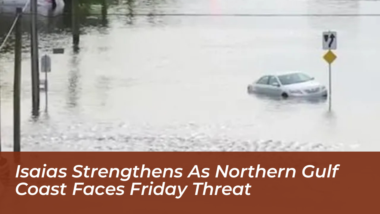


Tropical Storm Isaias is rapidly strengthening over the southern Gulf of Mexico and is forecast to reach hurricane strength before striking the northern Gulf Coast. According to the National Hurricane Center, Louisiana, Alabama, and Florida face severe threats including damaging winds, life-threatening storm surge, flash flooding, and potential tornadoes heading into the weekend.
As of the 10 a.m. CDT update on October 7, 2026, Isaias was located about 540 miles west-northwest of the mouth of the Mississippi River. It was moving east-northeast at 8 mph with maximum sustained winds near 45 mph. Forecasters warn that very warm Gulf waters and a favorable environment will fuel rapid intensification. This will push the system toward Category 2 strength with sustained winds reaching 110 mph prior to landfall.
Hurricane Watches and State Preparedness
In response to the intensifying system, the National Hurricane Center has issued hurricane, tropical storm, and storm surge watches stretching from Louisiana to Florida. A Hurricane Watch is currently in effect from Bay St. Louis, Mississippi, to Indian Pass, Florida. Additionally, a Storm Surge Watch covers areas from the mouth of the Mississippi River eastward to Yankeetown, Florida.
Florida Governor Ron DeSantis declared a state of emergency for 25 counties, spanning from Escambia to Baker. State emergency management teams have begun staging generators, fuel, food, water, and flood barriers in regions such as Tallahassee and Santa Rosa. Major energy companies, including Shell and BP, have also initiated evacuations of nonessential personnel from offshore platform facilities in the Gulf.
Expected Impacts and Timeline for Mobile and Pensacola
The primary window for significant weather impacts is expected to begin Friday and extend through Saturday morning. Communities across south Alabama and northwest Florida, including Mobile and Pensacola, should finalize preparations during the relatively quiet weather window on Wednesday and Thursday.
- Storm Surge: Inundation levels of 5 to 7 feet above normally dry ground are possible along the coast from Ocean Springs, Mississippi, to Indian Pass, Florida, including Mobile Bay.
- Wind Threats: Tropical-storm-force winds could arrive by midday Friday. Hurricane conditions are possible near and inland from the eventual landfall location by Friday night, leading to potential long-duration power outages.
- Heavy Rainfall: Rainfall totals of 3 to 6 inches are expected, with localized amounts up to 10 inches from southeast Louisiana to the Florida Panhandle, raising flash and urban flood concerns.
- Tornado Risk: Rain bands on the eastern side of the storm could spawn brief, isolated tornadoes beginning Friday night and stretching inland across Alabama and the Deep South on Saturday.
Safety Precautions and Evacuation Guidance
Local emergency management officials urge coastal residents to review evacuation zones, fuel vehicles, charge backup batteries, and secure outdoor objects that could become airborne in high winds. Residents living in flood-prone or low-lying areas should monitor local alerts closely and prepare to evacuate immediately if ordered by local authorities.