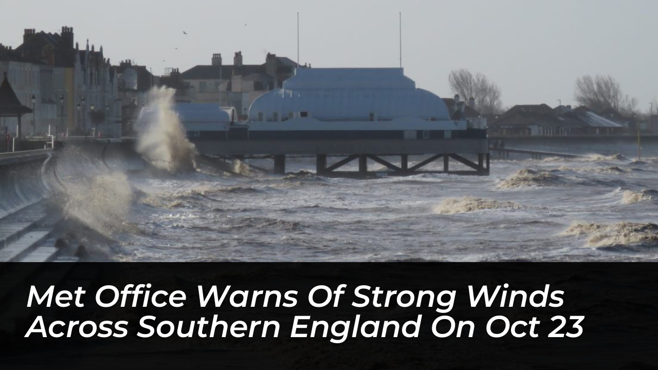

Residents across southern England and Wales are preparing for potentially damaging winds and difficult travel conditions. The Met Office has issued a yellow weather warning for Friday, October 23. An incoming area of low pressure is threatening to bring powerful gusts and heavy rain to the region. This has prompted alerts from transport authorities and emergency services.
Details of the Met Office Weather Warning
The yellow weather alert runs from midnight until midday on Friday. Met Office forecasters state that sustained winds could reach between 50 and 60 mph across affected areas. Severe gusts could potentially exceed 70 mph in coastal and exposed locations.
The warning covers several key regions, including:
- Somerset and the wider South West of England
- Southern Wales
- Coastal areas of East Suss*x, including Brighton and Hove
Deputy Chief Forecaster Tom Crabtree noted that the exact tracking of the low-pressure system remains a key variable. “An area of the forecast we’re particularly focusing on is the development of a potentially deep area of low pressure that could cross the UK overnight on Thursday and through Friday. It has the potential to bring some strong winds, though the location of the strongest winds will be determined by the low position,” Crabtree explained.
Local Impacts and Travel Disruptions
Transport networks, rail services, and cross-channel ferries could experience delays or cancellations during the morning commute. In Burnham-On-Sea and surrounding coastal strips, local forecasts indicate that peak winds might arrive slightly later. This peak is expected between 10 a.m. and 1 p.m., potentially extending disruption windows past the official expiration of the Met Office warning.
Drivers of high-sided vehicles, cyclists, and pedestrians should exercise extreme caution when traveling near coastal cliffs, open bridges, and wooded areas. Falling debris and tree branches pose significant safety hazards in these locations.
Expected Timeline and Weekend Outlook
The active weather front should clear eastward into the North Sea by Friday afternoon. This transition will temporarily draw in colder air across the UK overnight into Saturday. Afterward, subsequent Atlantic fronts will reintroduce milder conditions and further rain over the weekend.
Residents living within the warning zone should monitor ongoing local forecasts. They are advised to secure loose outdoor items, such as garden furniture and bins, and check public transit updates before traveling.