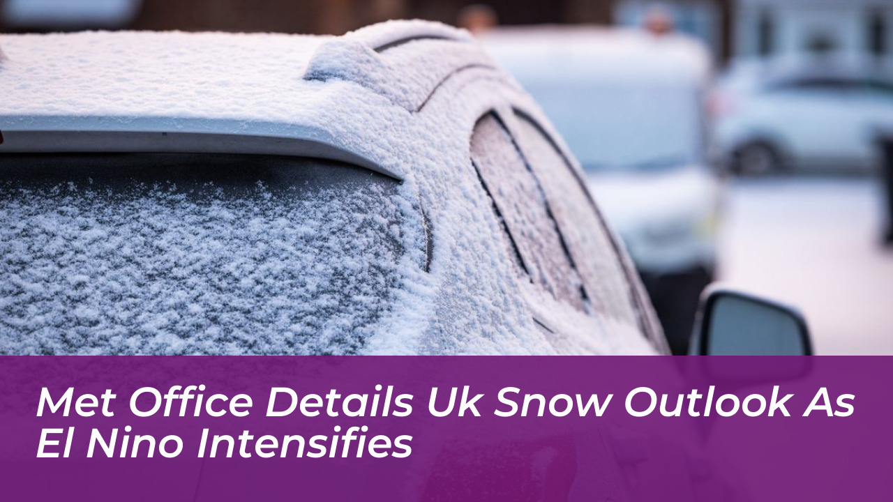

Britain could face periods of severe winter weather as El Niño strengthens across the tropical Pacific. The Met Office indicates that January and February are statistically more likely to bring snow than December. While global climate models point to significant ocean temperature anomalies, meteorologists emphasize that a severe freeze or widespread nationwide snowfall is far from guaranteed.
The World Meteorological Organization (WMO) expects the climate phenomenon to persist, with sea-surface temperatures potentially reaching unprecedented levels. WMO Secretary-General Celeste Saulo noted that latest forecasts indicate an unusually strong event developing in the Pacific. This mirrors historical cycles that alter global jet stream patterns and regional weather behaviors.
The El Niño Influence on UK Weather
El Niño is a naturally occurring climate phenomenon. It features warmer-than-average sea-surface temperatures in the central and eastern tropical Pacific Ocean. These elevated ocean temperatures release heat into the atmosphere, which causes shifts in global wind patterns and modifies the behavior of the jet stream.
During late autumn and early winter, a robust El Niño typically increases the likelihood of wetter, stormier, and milder conditions across Northwest Europe and the UK. Rather than delivering a direct, immediate cold snap, the signature of a strengthening El Niño is an increased frequency of Atlantic frontal systems. These systems bring heavy rain and potential wind damage.
What the Met Office Forecasts for Winter Snow
Recent headlines claimed that a “super El Niño” or polar vortex would cause the UK to be “smashed” by widespread snow and a prolonged freeze. The Met Office clarified that these dramatic assertions misinterpret the long-range outlook.
Short-range forecasts do not support widespread low-level snow or a continuous deep freeze. Instead, autumn weather features changeable conditions, including brisk winds, showers, and occasional chilly nights with rural frosts. Looking further into the winter season, historical comparisons show mixed outcomes:
- The 1997/98 El Niño Winter: Brought milder overall temperatures with exceptionally wet conditions in western areas, followed by a more normal February.
- The 2009/10 El Niño Winter: Coincided with the “Big Freeze,” delivering one of the coldest winters in three decades.
- The 2006/2007 El Niño Winter: Remained unseasonably warm throughout most of the season.
The Role of the Stratospheric Polar Vortex
A key factor in whether the UK experiences late-winter snow lies in the stratospheric polar vortex. This is a ring of strong westerly winds circling the North Pole roughly 10 to 30 miles above the Earth’s surface.
El Niño primarily influences tropospheric weather early in the season. However, experts note that energy waves from a strong El Niño can propagate upward later in winter. This can weaken or disrupt the polar vortex, which triggers Sudden Stratospheric Warming (SSW) events. When an SSW occurs, it can increase the probability of colder northerly or easterly winds reaching the British Isles, raising the risk of ice and snow during January and February.
Meteorologists stress that this relationship is a shift in probability rather than a definitive forecast. Periods of a meandering jet stream and cold winter weather can occur without significant polar vortex disruptions. This means snow remains a possibility for northern England and Scotland later in the season rather than a nationwide certainty.
Preparedness and Practical Impacts
National infrastructure operators and emergency planners monitor these seasonal updates closely to prepare for potential weather hazards. While heating demand may remain lower on average due to milder early-winter conditions, elevated storm frequency increases the risk of temporary power outages and transport disruption from high winds and localized flooding.
Residents across the UK are advised to stay updated with official Met Office weather warnings and forecasts, and to distinguish between reliable meteorological science and exaggerated media headlines concerning extreme winter events.