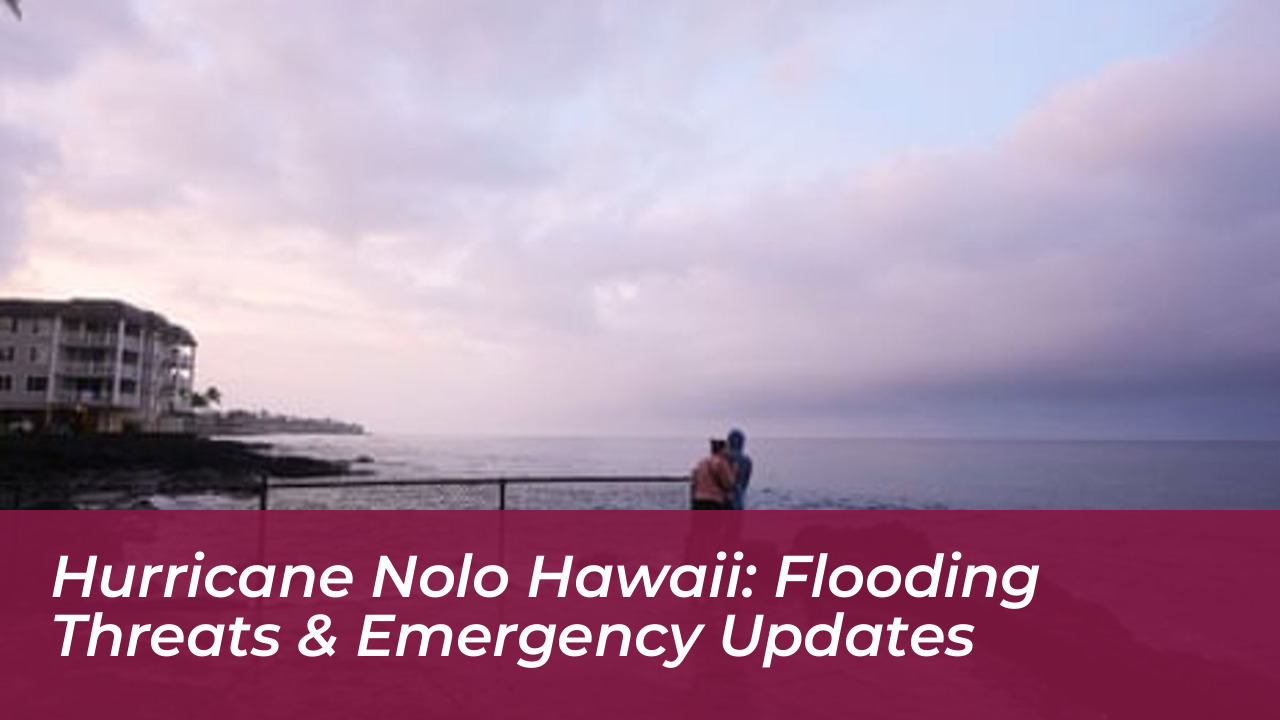
State officials in Hawaii activated over 230 National Guard members and closed schools on Friday, September 25, 2026, as Hurricane Nolo advanced toward the islands. The storm threatens to dump up to 25 inches of rain, triggering potentially life-threatening and catastrophic flooding in communities still recovering from previous severe weather systems. As of Friday morning, Nolo was positioned roughly 200 miles south of the Big Island, tracking north-northeast before an expected intensification into a major hurricane. Forecasters anticipate the system will track west on Saturday, avoiding a direct landfall on the islands. Despite missing a direct hit, the massive scale of the storm guarantees severe impacts across the region.
- Current Storm Track, Intensity, and Warning Status
- Category 2 Strength and Projected Path
- Active Watches and Warnings Across the Islands
- Rainfall Totals, Mudslide Risks, and Saturated Grounds
- Extreme Precipitation Projections
- Vulnerability from Prior Season Storms
- Evacuations, Infrastructure Closures, and State Preparations
- State and Municipal Emergency Measures
- Community Response and Maritime Disruptions
- El Nino Driving Unprecedented Pacific Cyclone Activity
- Meteorological Factors Behind 2026 Activity
- Frequently Asked Questions About Hurricane Nolo
- What are the wind speeds and category of Hurricane Nolo?
- How much rain is Hurricane Nolo expected to drop on Hawaii?
- Is Hurricane Nolo making a direct landfall in Hawaii?
- Why is this storm particularly dangerous for the Big Island?
- What steps should residents take during the storm warning?
Tropical storm conditions began on land late Friday, with hurricane conditions possible across vulnerable terrain early Saturday. The National Hurricane Center urges residents to shelter in place, avoid flooded roadways, and monitor official emergency alerts closely. Emergency management teams are coordinating round-the-clock responses to secure infrastructure and protect vulnerable residents.
Current Storm Track, Intensity, and Warning Status
Category 2 Strength and Projected Path
Hurricane Nolo features maximum sustained winds of 105 mph (165 kph), classifying it as a solid Category 2 storm. The center of the cyclone was located about 185 miles south of South Point, Hawaii, and approximately 380 miles south-southeast of Honolulu, moving north-northeast at 5 mph. Meteorological models show steady movement before the anticipated shift toward the west.
This path allows the core of the storm to remain offshore, but the wind field remains expansive. Outer rainbands and violent wind gusts will create widespread hazards even without a direct eye-wall impact. Forecasters track every slight wobble in the forecast cone to provide timely updates to local populations.
Active Watches and Warnings Across the Islands
Hurricane watches and tropical storm warnings remain in effect for Hawaii County, while Maui County sits under a tropical storm watch. Meteorologists note that storms in the central Pacific frequently wobble within the forecast uncertainty cone. These alerts prompt immediate protective actions from residents and local businesses.
The threat level matches historic proportions, with experts comparing its proximity to the powerful storms of the late 1950s. Specifically, meteorologists reference Hurricane Dot from August 1959 as a benchmark for the unusual tracks that impact the region during active tropical cycles.
Rainfall Totals, Mudslide Risks, and Saturated Grounds
Extreme Precipitation Projections
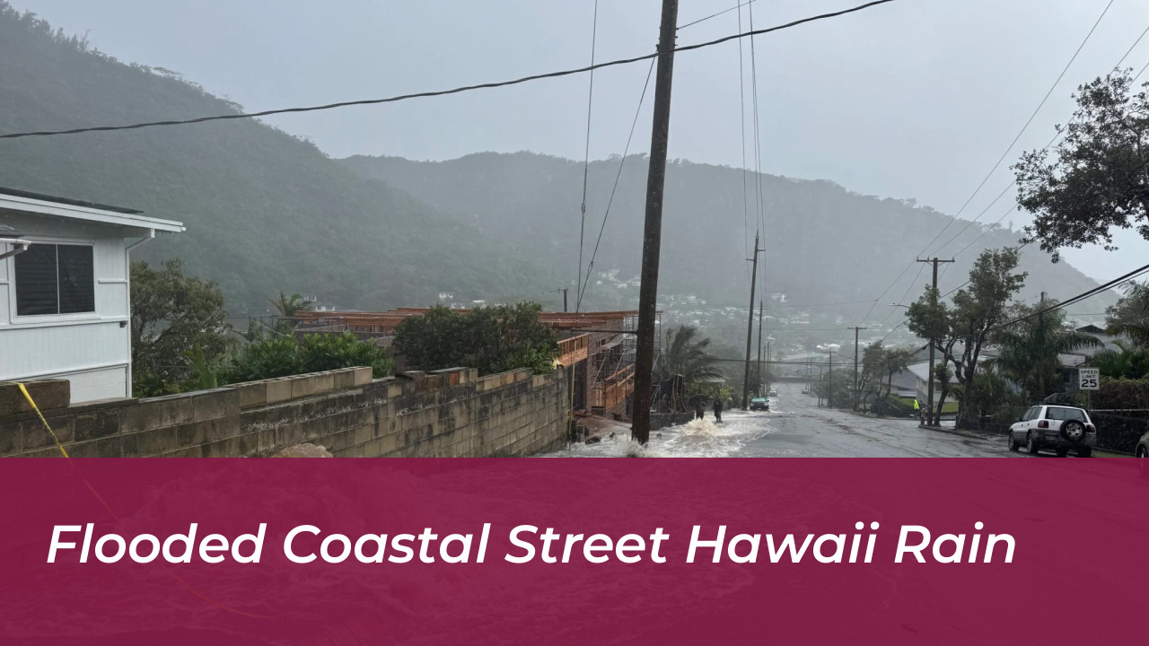
The primary danger from Hurricane Nolo stems from extraordinary rainfall rates and high cumulative totals. Eastern and southern regions of the Big Island face expected rainfall totals of 10 to 15 inches, with extreme maximums reaching up to 25 inches over mountain slopes. This massive volume of water increases the likelihood of sudden flash floods and debris flows.
Maui may receive up to 10 inches of rain, while other islands face general accumulations of 1 to 6 inches. Steep terrain accelerates runoff, turning minor streams into dangerous torrents within minutes. Emergency agencies warn motorists against attempting to cross flooded bridges or roadways.
Vulnerability from Prior Season Storms
This heavy precipitation poses an acute danger because the ground remains saturated from previous tropical systems this season, including Hurricane Lala, Tropical Storm Moke, and Hurricane Lowell. The southeast region of the Big Island is exceptionally vulnerable, having sustained severe damage and prolonged power outages just weeks prior.
Humanitarian organizations like CORE have shipped camp stoves, hygiene products, and heavy-duty tarps to community relief hubs. Meanwhile, local construction crews construct earthen berms to divert rushing water away from residential zones and critical infrastructure.
Evacuations, Infrastructure Closures, and State Preparations
State and Municipal Emergency Measures
Local authorities across Hawaii initiated widespread defensive measures ahead of the storm. State parks on the Big Island and Maui are entirely closed to prevent visitors from becoming stranded in remote areas. Hawaiian Electric recalled utility restoration crews from Kauai to stage assets on Oahu, Maui, and the Big Island.
Governor Josh Green requested an emergency disaster declaration for four Hawaii counties to unlock federal assistance. Municipal leaders urge residents in flood-prone zones to seek refuge at designated emergency shelters before weather conditions deteriorate.
Community Response and Maritime Disruptions
Sand and sandbags were made publicly available at multiple municipal locations to help residents protect coastal and low-lying properties. Communities are pulling together to clear drainage ditches and secure outdoor furniture. Communication channels remain open via local radio and emergency alert systems.
Offshore conditions forced the cancellation of major maritime events, including the traditional Na Wahine O Ke Kai world championship women’s canoe race from Molokai to Oahu. Harbor authorities restricted vessel movements to prevent accidents in the turbulent seas.
El Nino Driving Unprecedented Pacific Cyclone Activity
Meteorological Factors Behind 2026 Activity
The unusual frequency of tropical cyclones threatening Hawaii in 2026 ties directly to persistent El Nino conditions across the Pacific Ocean. This natural warming phase alters wind shear patterns and elevates ocean temperatures in the central Pacific. The resulting environment is highly favorable for tropical storm development and sustained survival.
While the Atlantic basin remains relatively quiet due to hostile upper-level wind shear affecting systems like Tropical Storm Fay and Tropical Storm Gonzalo, the Pacific is exceptionally active. Aside from Hurricane Nolo, other major systems continue to churn across open waters, testing regional forecasting models.
Frequently Asked Questions About Hurricane Nolo
What are the wind speeds and category of Hurricane Nolo?
Hurricane Nolo features maximum sustained winds of 105 mph, making it a Category 2 hurricane with expectations of intensifying into a major Category 3 hurricane before stabilizing.
How much rain is Hurricane Nolo expected to drop on Hawaii?
Eastern and southern portions of the Big Island could see up to 25 inches of rain, while Maui may receive up to 10 inches, creating severe flash flood risks across mountainous slopes.
Is Hurricane Nolo making a direct landfall in Hawaii?
Forecasters predict that the storm will track west and pass south of the islands without a direct landfall, though outer bands will still bring destructive winds, storm surge, and heavy rain.
Why is this storm particularly dangerous for the Big Island?
The Big Island is exceptionally vulnerable because Hurricane Nolo targets the exact southeastern region that suffered heavy flooding and property damage from Hurricane Lala in August, leaving the soil completely saturated.
What steps should residents take during the storm warning?
Residents need to stay indoors, secure outdoor objects, and monitor local weather updates continuously until authorities lift emergency advisories.